Escapade happily swung all night on her anchor in winds that gusted to 25 knots, and we awoke to a pair of sea eagles gliding above the trees and a breakfast of Daci Sourdough with French strawberry jam and fresh coffee. Today we will sail along some of the most spectacular coastline on the planet.
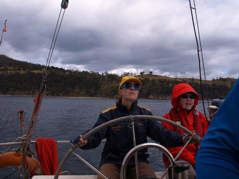
We motor out into a headwind. The predicted North Westerlies turn out to be steady South Westerlies, so we beat into the aptly named Storm Bay and raise the sails. We have around 40 nautical miles to make, which will take most of the day. Every time I sail into Storm Bay I feel I am touching history, my mind always wanders to the famous seafarers who discovered and charted this coast. My eye follows the silhouette of Bruny Island down to Adventure Bay, where in 1777 the great Cook anchored in Resolution, with a young William Bligh on board. I have an electronic copy of a beautiful drawing Cook made of Adventure Bay. It is identical to todays coast and could have been drawn yesterday. My eyes are seeing exactly what Cooks did. Young Bligh made numerous open boat journeys around Storm Bay, surveying and sounding it’s depths. He was to return in 1788 as Master of the ill fated Bounty, and again in Providence in 1792. Some years later was to plunder merchant vessels in the Derwent for provisions after being deposed as Governor of New South Wales in what was to become known as the Rum Rebellion. He would rise again to become recognised as one of the greatest navigators of all time, perhaps only second to Cook, and eventually promoted to Admiral of the Blue. I can almost feel his presence here in Storm Bay. Hollywood has completely misrepresented this great man.
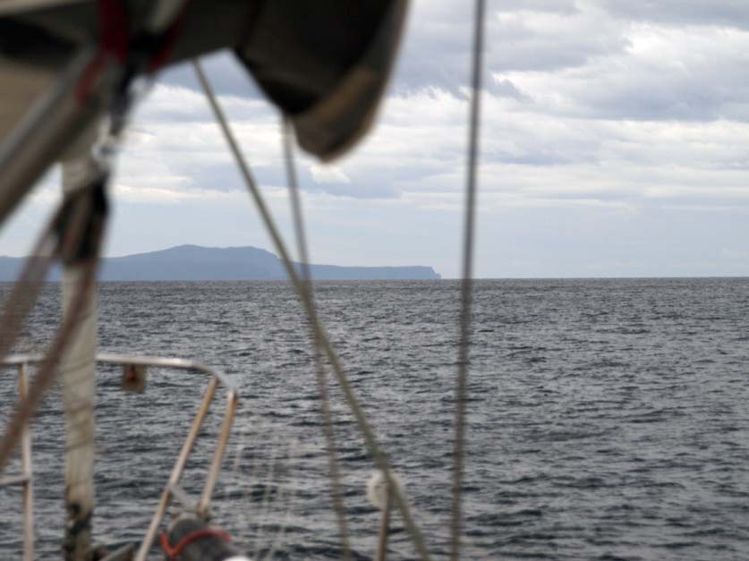
Our course takes us towards Cape Raoul, the spectacular entrance to the horrendous penal colony of Port Arthur, established by the British in 1831. One can only imagine the emotions that would have been felt by the convicts, after three or four trying months of transportation, their first glimpse of the place they would most likely spend the rest of their lives the vertical walls of Cape Raoul, rising from a dark, cold angry sea like some fantastic gothic fortress, foreboding and dark, intimidating and angry.
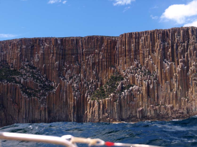
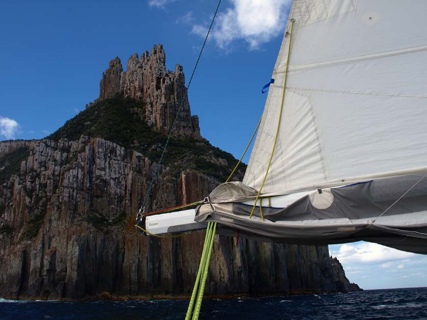
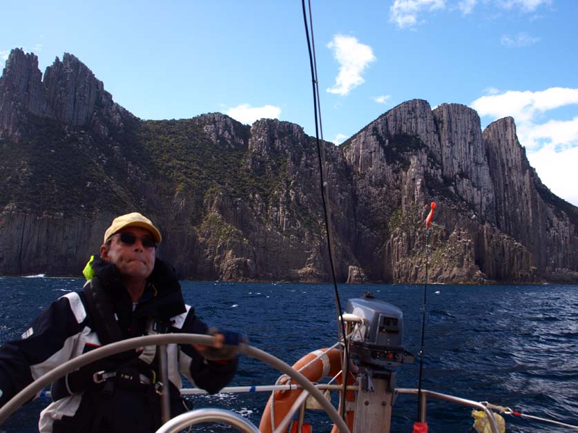
We sail close to the cliffs, the great columns of dolorite towering overhead are jaw droppingly spectacular. The swell has risen to around three meters, as we are now east enough to be in the rollers from the Southern Ocean that have swung around the southern end of Tasmania. It crashes into the cliffs sending great plumes of spray upwards.
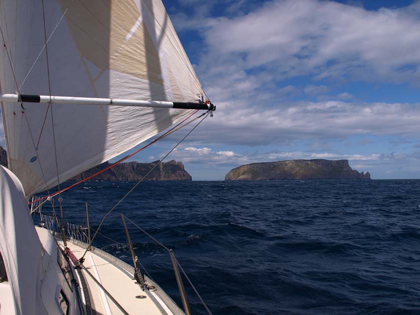
Robert orders the spinnaker pole set to starboard. With the wind behind us rising to 25 knots we are going to goose wing straight to Tasman Island, which means the main sail will be to port, and the headsail to starboard giving us plenty of sail exposed to the wind.
Our intended course rounds the Tasman Peninsular and tracks north along the east coast of Tasmania. At the tip of the peninsular, a thin channel separates Cape Pillar from Tasman island, with sheer cliffs on either side. Whilst the seas and winds are confused here, we have five meters of water beneath the keel. The channel is barely 300 meters wide with cliffs beetling overhead on both sides, and Robert plans to run straight through it, spectacular sailing indeed. On the island side fat southern fur seals lounge about on the rocks perilously close to the surge. Usually smelt before seen they briefly raise their heads to watch our transit, and drowsily return to sun baking.
Once through the channel we are in the lee of the land, and the sea state is much calmer. A stiff south wester runs us up the coast towards Cape Hauy, which was named by the French explorer Baudin after a French mineralogist, curious, as Baudin was a captain of a scientific expedition, but he despised scientists.
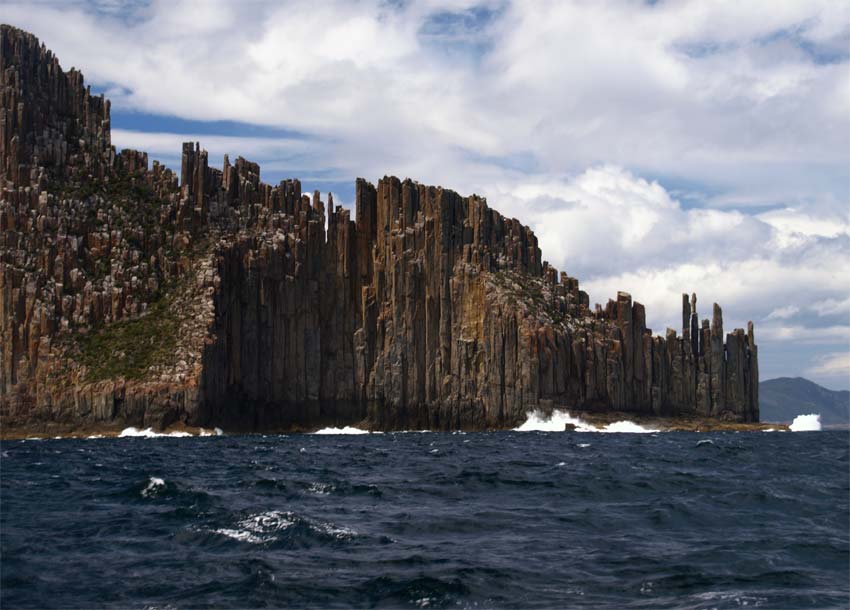
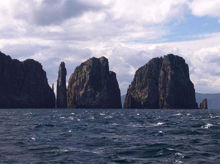
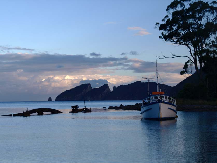
At the tip of the Cape are a series of Rocks named The Lanterns, which rise vertically out of the sea. Two of these are appropriately named The Totem Pole and The Candlestick, sheer towers rising as vertical needles from the sea, both are revered by rock climbers. There is deep water right to their edge, so we round the lanterns and beat into Fortescue Bay. We are heading to a secluded anchorage at the northwest end of the bay, which funnels in to the outlet of Walkers Creek. The hills around the bay are cloaked in tall Eucalpyts which come right to the shoreline, their leaves hanging over the water. It is a truly beautiful place. We are sheltered behind the wreck of the William Pitt, an old dredge that was towed here and sunk to provide shelter from easterly swells, in the company of three other boats.
No sooner have we anchored and secured the boat, the squid jags are over the side. There is a meter of water under the keel, and the clear bottom is sandy with patches of weed. Seems ideal for squid, but the fishing is slow. A couple of stubbies of Boag’s Wizard Smith’s Ale arrive on deck. It doesn’t get much better than this. The label boasts “a traditional English style ale with a warm fermentation and dry-hopping with East Kent Golding hops”. It is a travesty that this beer isn’t available on the mainland.
Robert jags a squid and brings it around the stern of Escapade. This is one big squid, it will easily feed the four of us. The behemoth’s goggle eyes are staring at us as I try to get a bucket underneath it. The trick is to avoid getting a load of ink on the boat, or worse still yourself. The job looks almost done when the snared cephalopod ejaculates a mother load of black goo all over the stern. No other squid are forthcoming as twilight descends about us, so I set about cleaning the squid and preparing dinner, which will be a squid penne with garlic, lemon and parsley and a salad of rocket and fennel with a lemon balsamic dressing.

I wish I was there !!! Looks soooo good. Enjoying the read have sent Nev your blog details in case he wants to tract your adventure. Miss you.xxxxxxx